

Christmas Island
Christmas Island Location & Geography
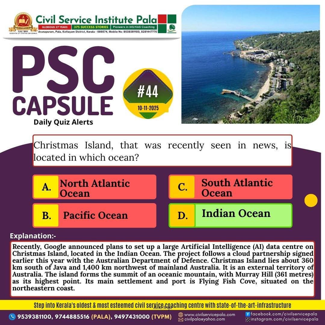
• External Australian territory in the Indian Ocean.
• ~360 km south of Java (Indonesia), ~1,400 km NW of mainland Australia.
• Main settlement: Flying Fish Cove.
• Highest point: Murray Hill (361 m).
• Covered mostly by tropical rainforest; fauna includes seabirds, small reptiles, land crabs (red crab migration), insects.
History • Sighted: 1615; named 1643 (Christmas Day). • Annexed by UK after phosphate discovery (1888). • Part of Straits Settlements (1900); occupied by Japan in WWII. • Became Australian territory: 1958.
Population & Society • Ethnic composition: Chinese majority, Malay laborers, few Europeans. • Small local population; limited urban settlement.
Economy • Historically phosphate mining → nearly exhausted.
• Current focus: tourism and small-scale subsistence agriculture & fishing. • Most food imported.
Recent News (2025)
• Google AI data centre proposal after cloud deal with Australian Dept. of Defence. • Planned near the airport; may include subsea cable link to Darwin. • Strategic relevance: remote Indian Ocean location for defence & digital infrastructure. • Local concerns: environment, tourism, power supply; potential benefits: jobs, connectivity. • Google denies large AI data centre claim; calls it part of Australia Connect infrastructure.
Strategic Importance • Geopolitically significant: Indian Ocean node, potential digital & surveillance hub. • Enhances Australia’s strategic footprint and Indo-Pacific infrastructure.
Environment & Tourism • Famous for annual red crab migration. • Tropical rainforest and unique biodiversity.