

Ganga River
Origin
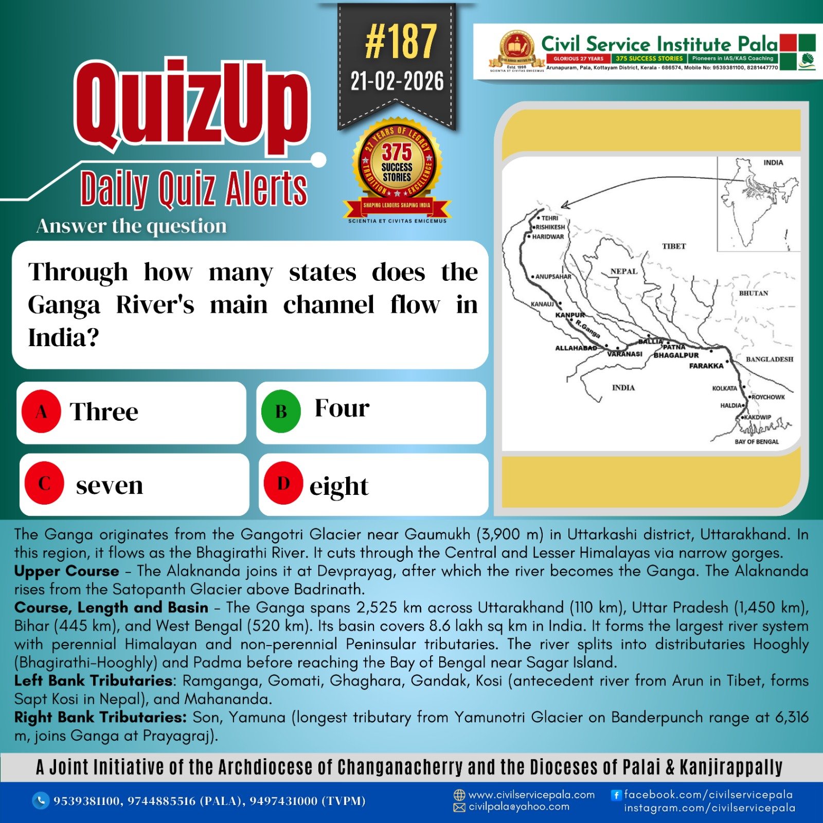
The Ganga originates from the Gangotri Glacier near Gaumukh (3,900 m) in Uttarkashi district, Uttarakhand. In this region, it flows as the Bhagirathi River. It cuts through the Central and Lesser Himalayas via narrow gorges.
Upper Course
The Alaknanda joins it at Devprayag, after which the river becomes the Ganga. The Alaknanda rises from the Satopanth Glacier above Badrinath.
Tributaries of the Alaknanda and their Meeting Points
Dhauli Ganga and Vishnu Ganga meet at Vishnu Prayag (Joshimath).
Pindar joins at Karna Prayag.
Mandakini/Kali Ganga joins at Rudra Prayag.
The Ganga enters the plains at Haridwar, flowing south, then southeast and east.
Course, Length and Basin
The Ganga spans 2,525 km across Uttarakhand (110 km), Uttar Pradesh (1,450 km), Bihar (445 km), and West Bengal (520 km). Its basin covers 8.6 lakh sq km in India. It forms the largest river system with perennial Himalayan and non-perennial Peninsular tributaries. The river splits into distributaries Hooghly (Bhagirathi-Hooghly) and Padma before reaching the Bay of Bengal near Sagar Island.
Major Tributaries
Left Bank Tributaries: Ramganga, Gomati, Ghaghara, Gandak, Kosi (antecedent river from Arun in Tibet, forms Sapt Kosi in Nepal), and Mahananda.
Right Bank Tributaries: Son, Yamuna (longest tributary from Yamunotri Glacier on Banderpunch range at 6,316 m, joins Ganga at Prayagraj).
Yamuna Tributaries: Right bank - Chambal, Sind, Betwa, Ken (Peninsular origin); Left bank - Hindan, Rind, Sengar, Varuna.