

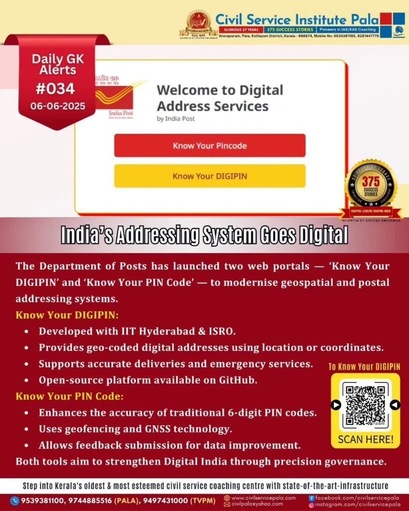
India’s Addressing System Goes Digital
Launch of ‘Know Your DIGIPIN’ and ‘Know Your PIN Code’ Portals: A New Era in India’s Addressing and Geospatial Infrastructure
The Department of Posts, under the Ministry of Communications, has unveiled two pioneering digital initiatives — ‘Know Your DIGIPIN’ and ‘Know Your PIN Code’. These platforms signify a transformative step in modernising India’s address system and enhancing geospatial governance. Launched in alignment with the National Geospatial Policy 2022, these tools aim to support precise location-based services, ensuring efficient public service delivery and digital empowerment.
Know Your DIGIPIN: Towards a Digital Addressing System
The DIGIPIN (Digital Postal Index Number) is a revolutionary geo-coded, grid-based digital address system developed collaboratively by the Department of Posts, IIT Hyderabad, and NRSC (ISRO). This interoperable, open-source platform introduces the concept of Address-as-a-Service (AaaS), aiming to streamline address data management.
Key features of the ‘Know Your DIGIPIN’ web portal include:
* Retrieving DIGIPIN using precise geo-location.
* Converting latitude and longitude into DIGIPIN and vice versa.
DIGIPIN holds the potential to revolutionise delivery services, emergency response, and location mapping, especially in rural and remote areas. By incorporating DIGIPIN as an address attribute, it enables seamless GIS integration, facilitating cost-effective and accurate service delivery. The system has been officially endorsed by the Thematic Working Group on Address and is now open for integration by various ministries, state governments, and private stakeholders.
Know Your PIN Code: Refining a Legacy System
The six-digit PIN Code, introduced in 1972, has been India’s fundamental postal identifier. However, with evolving needs, it became crucial to refine this system to ensure better geographic accuracy. The Department of Posts conducted a nationwide geofencing initiative, mapping PIN code boundaries using GNSS technology.
The newly launched ‘Know Your PIN Code’ portal enables users to:
* Identify the correct PIN Code based on current location.
* Submit feedback on any discrepancy in PIN Code accuracy.
This user participation model ensures continuous refinement of the PIN Code database. The geo-referenced PIN Code boundaries are publicly available on the Open Government Data Platform, titled *“All India PIN Code Boundary geo-json”*, enabling further application development and research.
A Unified Leap Towards Digital Public Infrastructure
These launches reflect the government’s larger vision of building robust Digital Public Infrastructure (DPI). According to Ms. Vandita Kaul, Secretary, Department of Posts, these initiatives aim to digitally locate and service every citizen, regardless of geographical barriers. This digital leap underscores the commitment to precision governance, enabling better integration with logistics, healthcare, disaster response, and urban planning systems.
Public Participation and Future Prospects
Both platforms encourage active public engagement through feedback tools, promoting collaborative improvement. Developers, researchers, and citizens are invited to explore these tools, suggest enhancements, and help shape a more responsive digital addressing system.
The launch of ‘Know Your DIGIPIN’ and ‘Know Your PIN Code’ is a landmark in India’s digital journey. These platforms not only modernise postal and location services but also lay the groundwork for future-ready governance and inclusive service delivery. As India steps further into the digital age, these geospatial initiatives exemplify how technology can bridge gaps, empower citizens, and improve lives across all corners of the nation.