

Mission Drishti
What is Mission Drishti?
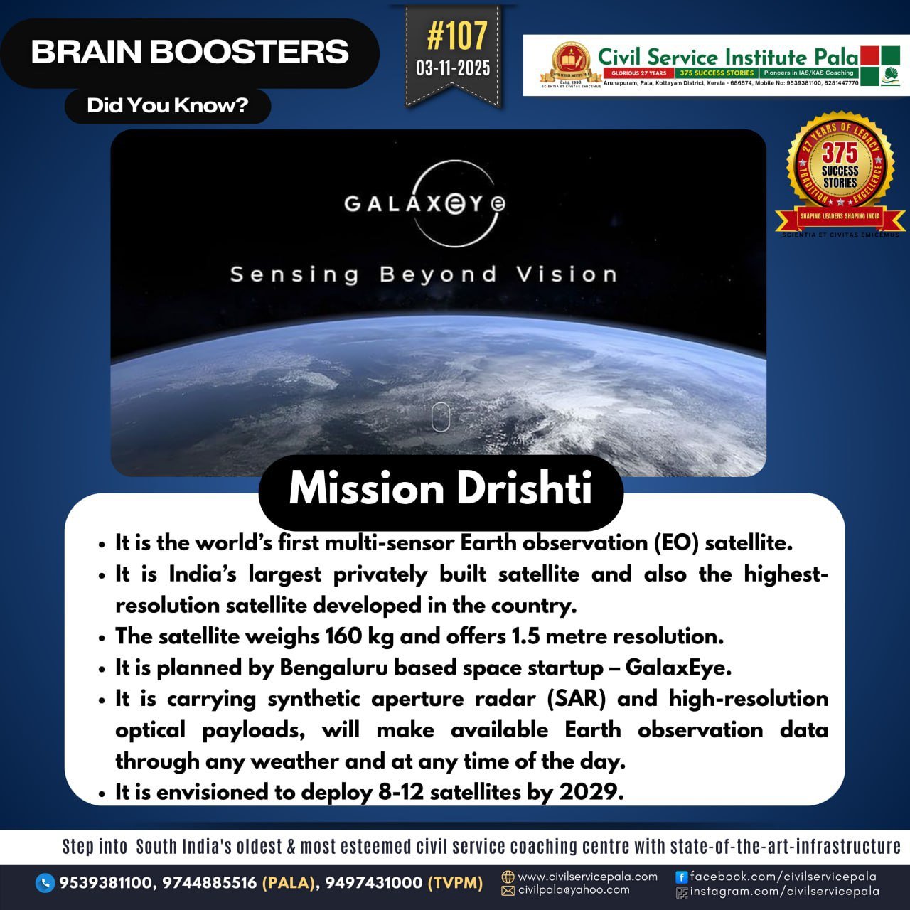
It is a mission by the Bengaluru-based startup GalaxEye to launch a multi-sensor Earth-observation satellite. The satellite will combine high-resolution optical imaging plus synthetic-aperture radar (SAR) sensors on a single platform — the first such in the world, according to the company.
The planned launch is in the first quarter of 2026. This marks the start of a constellation of 8-12 satellites over about 4 years. The satellite is reported to weigh ~ 160 kg, offering ~1.5 metre ground resolution.
Why is it significant? All-weather, all-time capability:
The use of SAR means the satellite can “see” through clouds and at night — very useful for surveillance, disaster monitoring, etc.
Private-sector leadership: This is reportedly India’s largest privately built satellite and highest-resolution private-sector Earth-observation platform to date. That signals growing domestic private capability.
Wide applications: The mission targets multiple domains: defence & border surveillance, infrastructure monitoring, agriculture, utilities, disaster management, insurance & finance. Global positioning: With such a venture, India aims to boost its space-tech ecosystem and position itself more strongly in the global Earth-observation market. Technical highlights Sensor fusion: The proprietary “SyncFused Opto-SAR” architecture aims to synchronise optical and SAR payloads.
Resolution: ~1.5 metre ground resolution — good enough for many commercial and strategic purposes. Platform: 160 kg class satellite (relatively modest by large-sat standards, but ambitious for private build). Timelines & roadmap First launch: Q1 2026.
Constellation: 8-12 satellites over the next ~4 years (i.e., through to ~2029) to build a near-real-time Earth-observation capability.
Challenges & things to watch Launch risk / schedule: Private satellite builds, especially first ones, often face delays or technical issues. Realising Q1 2026 will require many things to go smoothly.
Regulatory & data access issues: Earth-observation data often intersects with national security, export control, and regulatory frameworks. How data is shared, priced, secured will matter.
Competition: Globally, many firms and governments operate high-resolution Earth-observation satellites. The business/ROI case will hinge on differentiation (fusion sensor, high revisit rate, etc).
Constellation logistics: Scaling from one satellite to 8-12 implies sustained production, launch services, ground infrastructure, data pipelines. Execution risk is high.
Market uptake: The promised applications (infrastructure monitoring, insurance, agriculture, defence) require not just technical capability but viable business/contract models.
Why it matters for India / globally For India: It bolsters the private space-sector ecosystem (“make in India” for satellites), adds indigenous capacity in tactical imagery, and supports strategic autonomy in EO data.
For global markets: A multi-sensor small satellite constellation could lower costs and increase revisit/frequency of Earth monitoring, which is valuable for commercial & humanitarian uses.
For applications: Better, more frequent, high-resolution data helps in disaster response (floods, landslides), agriculture yield estimation, infrastructure asset monitoring, defence border surveillance, etc.